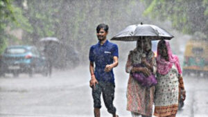
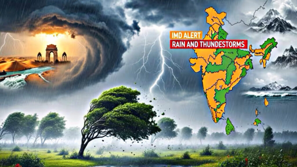
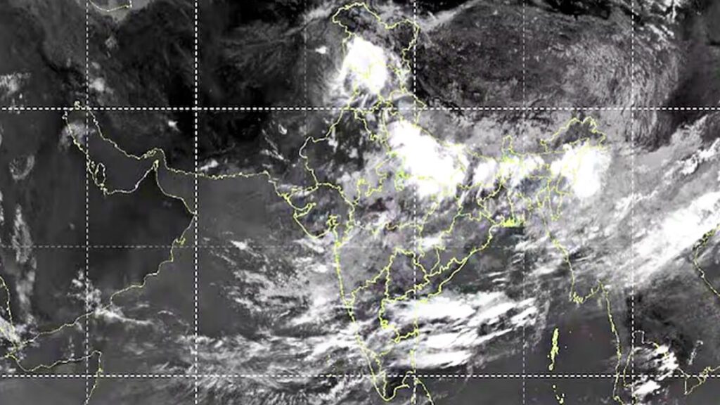
With the monsoon currently underway and heavy rains lashing several regions, new information has emerged from ISRO’s INSAT-3DR satellite imagery: clouds cover approximately two-thirds of the country. A blanket of clouds is visible stretching from Jammu & Kashmir, Bihar, and West Bengal to the northeastern states. The imagery indicates that the monsoon is at its peak, and alerts have been issued regarding the likelihood of heavy rainfall across the nation. These cloud formations suggest a high probability of dense clouds, heavy rain, and strong winds in various areas. The Meteorological Department is continuously monitoring the situation.
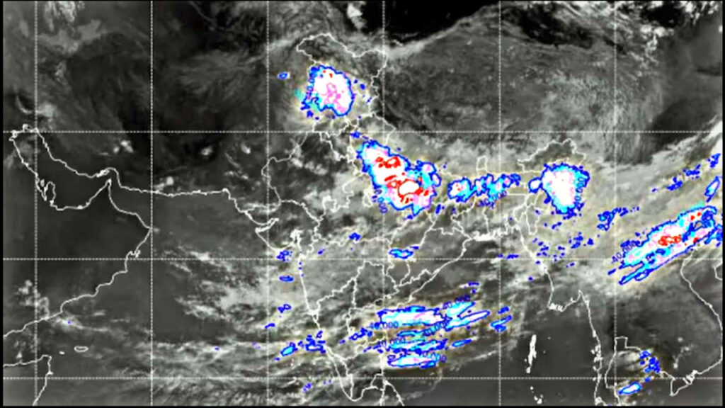
The satellite imagery from ISRO indicates a strong possibility of heavy rain in many regions, with clouds covering about 60 to 70 percent of India—roughly two-thirds of the country’s landmass. The densest cloud cover has been observed extending from Uttar Pradesh, Punjab, and Bihar into Bengal. Other regions are likely to experience humid winds and gusty conditions.
The situation is clear in certain areas.
According to the Meteorological Department, skies remain clear over parts of western Rajasthan and Tamil Nadu, with no rainfall expected there; however, humid winds may blow. It is worth noting that the department expects these conditions to evolve. The INSAT-3DR infrared imagery suggests a likelihood of intermittent light rain or drizzle across several parts of India throughout the day.
How does the satellite capture images of clouds?
India’s INSAT-3DR is a weather-monitoring satellite used to capture imagery that helps predict where rainfall is likely to occur in the near future. The recently released images highlight the potential for rain across various parts of the country. Images are captured by this satellite every half hour, allowing the Meteorological Department to monitor and forecast upcoming weather conditions. India’s Meteorological Department (IMD) relies on these images to provide comprehensive weather information. It is equipped with two primary cameras that capture highly detailed images. The first is a visible channel camera, which uses sunlight to capture images, while the second is a thermal infrared channel camera that measures heat and operates both day and night.
However, the latest updates indicate a strong possibility of intermittent light to heavy rainfall throughout the day across various parts of India.