The Bangladesh map controversy sparks heated debate in Parliament as opposition questions the government
In Parliament, the contentious map of Bangladesh was also brought up. The map depicts parts of seven Indian states as belonging to Bangladesh: West Bengal, Assam, Meghalaya, Tripura, Bihar, Jharkhand, and Odisha.
This issue was brought up by Congressman Randeep Surjewala in the Rajya Sabha on Thursday.
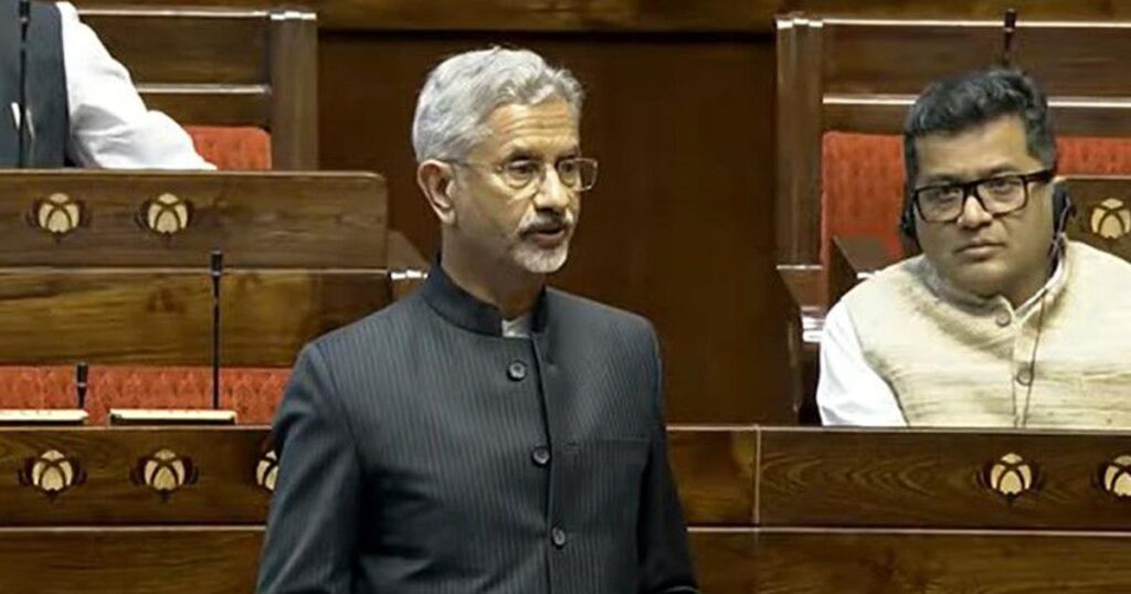
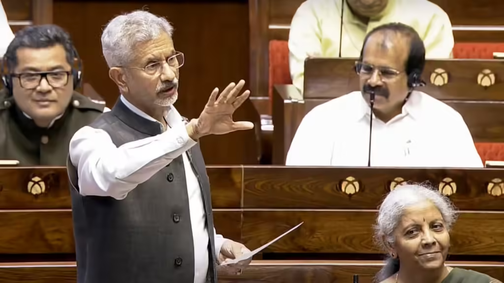
Surjewala inquired about the government’s response to the problem. External Affairs Minister S. Jaishankar responded in writing,
Now comprehend the entire issue:
The Ministry of External Affairs said that the contentious map was on display on April 14, 2025, during an exhibition at Dhaka University. Jaishankar says India will firmly counter all propaganda.
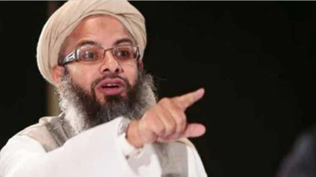
A Dhaka-based Islamic organization known as “Saltanat-e-Bangla” is accused of creating the map of “Greater Bangladesh.”
According to reports, the Turkish NGO “Turkey Youth Federation” supports “Saltanat-e-Bangla.”
Relations between Turkey and Bangladesh have improved since Mohammad Yunus was appointed Chief Advisor to the country’s interim administration.
- There has also been a rise in Turkish military collaboration and nongovernmental organization activities.
- In the Rajya Sabha, Surjewala brought up the matter and posed two important queries.
Congressman Randeep Surjewala questioned the government about the contentious map in two ways:
He wanted to know more about the extreme party in Bangladesh that is advocating the “Greater Bangladesh” map, which includes portions of Indian territory, and is allegedly supported by Turkey.
He inquired as to whether the Indian government had discussed this matter diplomatically with Bangladesh and if it had evaluated the security ramifications of Pakistan’s and Turkey’s increasing influence in Bangladesh.
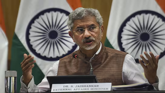
EAM Jaishankar’s four-point response
The Indian government is aware of claims that an Islamic organization in Dhaka called “Sultanate-e-Bangla” has published a map of “Greater Bangladesh” that includes Indian territory.
There is no proof that such a group exists in Bangladesh, according to the official fact-checking website “BanglaFact.”
According to reports, the disputed map was part of a historical exhibition and was not a political assertion but rather a reference to the former Bengal Sultanate.
India continues to take all necessary steps to protect its interests and keeps a careful eye on any changes that can have an impact on national security.
Following the release of images depicting portions of seven Indian states inside Bangladesh’s borders, the Bangladesh map dispute has caused strong reactions in the Indian Parliament. The government’s answer has drawn harsh criticism from the opposition, which has called for clarification and diplomatic measures. External Affairs Minister S. Jaishankar responded by stating that national boundaries are non-negotiable and that India is prepared to combat any propaganda or false information pertaining to the matter.

